For high school students considering the next step after graduation, choosing the right college to attend is a source of both stress and excitement. With over 4,000 degree-granting colleges and universities across the United States to choose from, students have an almost overwhelming amount of options to choose from. But one tool that can help students making the choice is a universities map.
With markers indicating the location of each college campus, students can hone in on areas of interest to locate their dream college.
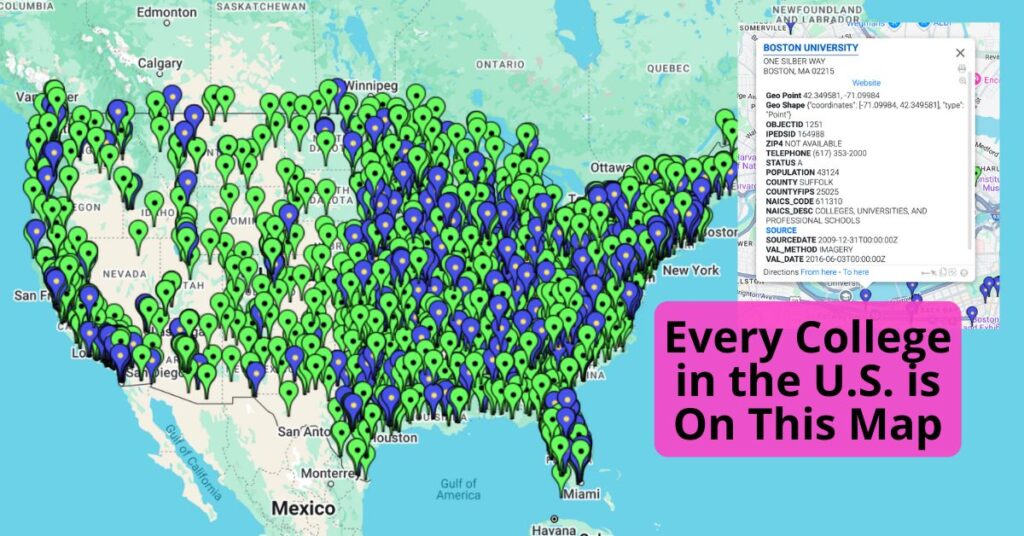
Colleges and Universities Map
We pulled together data compiling every post-secondary educational facility in the United States into one handy map. The map includes doctoral/research universities, masters colleges, baccalaureate schools, associates colleges, theological seminaries, medical schools, schools of engineering and technology, business and management, art, music, design, law schools, teachers colleges, tribal colleges, and other specialized institutions.
The map can be filtered to show one specific type of college: four-year, community, or trade schools. Students can interact with the map, zooming in on areas of interest to learn about the colleges in each location.
Our map features data including: enrollment data, housing information, contact information, exact location, and more. It also includes links to source data, so students can read more on the schools they’re most interested in.
A universities map is an invaluable tool for anyone exploring higher education options in the U.S. By using an interactive map, students can make informed decisions based on their academic and financial needs, helping them find the best institution to match their goals. Whether planning for an undergraduate or graduate degree, leveraging this resource can simplify the selection process and provide clarity on available opportunities.
Start exploring today and find the perfect college or university that fits your aspirations!
Create Your Own Map
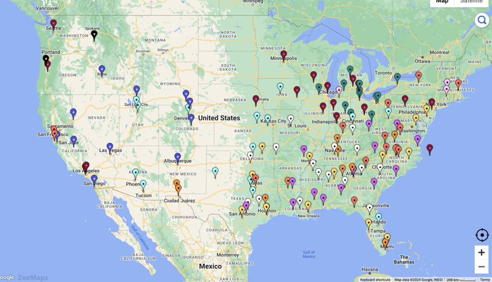
You can make your own college map that includes just your top choices as a comparison tool. Using ZeeMaps, simply follow these steps.
- Create a New Map.
- In Additions, choose “Upload (Copy/Paste) Spreadsheet” and add your data to the map. In your spreadsheet, include all the data that’s relevant to you and your college search.
- Select United States as the starting position.
- Choose “Marker Pin” as the upload type.
- To add color coding by a specific attribute within the map, either add that information in your spreadsheet before uploading or use “Bulk Edits” to adjust all the markers after upload.
To make your map static instead of interactive, save it as a PNG or PDF. Simply use the Print or Share option, then click “PDF/PNG Image.” You can play around with the settings to get the image to look the way you want it to. With options like satellite image vs. map image, different pin aesthetics, image resolution, and size, there are various ways to customize your map using ZeeMaps.