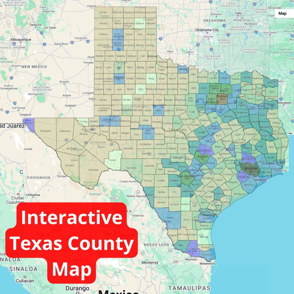
This interactive Texas county map shows all 254 counties in the state of Texas – more counties than there are in any other U.S. state. By clicking on each county on the map, you can see the population of citizens located in that area.
The map is color-coded by population as well. The lighter shades represent less densely populated areas, while the darker colored areas have a higher number of residents. The smallest county in Texas by population is Loving County, with just 43 residents, while the smallest county by land area, Rockwall County, has a population of 131,307 in under 150 square miles.
Learn more about the great state of Texas through this interactive map!
Static Texas County Map

Create Your Own County Map
Government officials, police officers, educators, and geography buffs alike may have need for their own customizable county map. On ZeeMaps, you can create a map to your exact needs, showcasing a variety of colors and pieces of information. You can easily recreate the map above, or create your own county map of a different state, with these simple steps.
- Create a New Map.
- In Additions, choose “Upload (Copy/Paste) Spreadsheet” and add your data to the map.
- Select “Texas” or whichever state you’d like a map of as the starting position.
- Choose “Counties” as the upload type.
- To display the names of each county, click on “Map,” then “Settings.” Under “Markers Display,” choose the name of the field you want to display in the section “Label Markers using.”
- To add borders so the counties are more clearly delineated, in “Settings,” under “Map Display” check “Draw border for regions uploaded, e.g., US Zip Codes, counties, etc.”
To make your map static instead of interactive, save it as a PNG or PDF. Simply use the Print or Share option, then click “PDF/PNG Image.” You can play around with the settings to get the image to look the way you want it to. With options like satellite image vs. map image, different pin aesthetics, image resolution, and size, there are various ways to customize your map using ZeeMaps.