What is ZeeMaps?
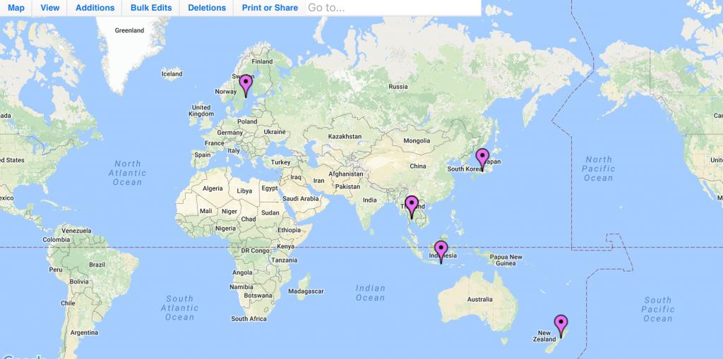
ZeeMaps is an enterprise-class mapping service. It allows you to easily create, publish, and share interactive maps. You can construct dynamic visualizations of geographic information, producing maps from your list of locations. For example, you can create maps of places your field agents or sales people visit often. You can make maps pinning the locations of your customers, sales leads, store locations, garage sales or estate sales. You can even use ZeeMaps to make travel plans on a world map.

Use ZeeMaps to mark pins on maps and highlight areas of interest such as zip codes, counties, city, state and country boundaries.
ZeeMaps’ advanced filtering capabilities allows you to make geo searches on your maps, so you can search for ‘all my Gold customers in California’, for example.
All maps are stored on our servers, and can be instantly accessed any time, anywhere, from a modern web browser on a desktop, laptop, tablet, or smart phone.
Maps can be rendered into high resolution images in custom sizes for presentations and display. For example, you can download a 300 DPI 3′ x 4′ poster of your custom map.
Is ZeeMaps free to use?
ZeeMaps is free to try out, as we allow for a maximum of 100 lifetime views on maps without a paid plan associated with them. In case you need to do a quick map and create an image, you can do that with the free plan. If you need to use ZeeMaps on a regular basis, or have maps that would need more than 100 views, your best alternative is to sign-up for one of our plans that start at $19.95 a month (or $199.95 a year, a two month saving).
Who uses ZeeMaps?
Individuals and organisations worldwide use ZeeMaps. Here are just a few examples.
ZeeMaps is used by professionals from small, medium and large corporations. Over 300 of the Fortune 500 companies use ZeeMaps, including: Walmart, Apple, CVS Health, General Motors, Ford, AT&T.
It is used by Federal, State, and Local Governments and their agencies in the US and abroad.
ZeeMaps is used by community support groups, churches, hospitals and medical services providers. It is used by journalists and newspapers.
Zee Maps is used in many educational institutions. School teachers use it for Geography and History lessons, in particular. Universities use ZeeMaps to map their alumni, and students use it to make presentations and analyze data.
Who do I contact for assistance and support?
ZeeMaps professionals are available to answer your questions and provide assistance and support.
Contact us via email at support@zeemaps.com, or by telephone on +1 408-914-2955.
Our office hours are 9:00 AM – 5:30 PM Pacific Daylight Time in the US.
Emails are the best way to reach us. Urgent emails will be responded to within an hour, during business hours. Non-urgent emails typically get a response within two working days. The same goes for phone calls and voicemails.
Can I submit suggestions or feedback?
Yes! We encourage and welcome input from our users. To send us your suggestions and feedback, please use our Contact page.
Can I be notified of new ZeeMaps developments?
Every registered user is notified of new ZeeMaps developments via email about once a month. If you don’t wish to receive these notifications, you can unsubscribe from the email list at any time. Do this by following the ‘Unsubscribe’ link in the email.
You can also get the news by following us on Twitter and Facebook.
We regularly post new developments on our blog.
How is ZeeMaps related to Google Maps?
ZeeMaps uses Google Maps to display the base map images. Our company is a customer of Google Maps and other Google services.
Do you offer custom map application development?
No. In order to remain focused on bringing you the very best mapping service, we are currently not undertaking any custom mapping projects. If you have a suggestion that could be of general use, we’d be happy to consider it for implementation. Please use our Contact page.
How do you plan to enhance ZeeMaps in the future?
We are constantly working to improve existing user functions – as well as to add new ones. Our current priority is to improve the user experience by making the interface more intuitive and simple, and to provide better customization options. If there is a feature you would like to see, please Contact us.