You can get US Map images from ZeeMaps in different sizes and resolutions, e.g., to print out a wall-poster, or include in a PowerPoint slide.
On your interactive map in ZeeMaps, click the Print or Share -> PDF/PNG Image menu item to get the dialog to customize your image.
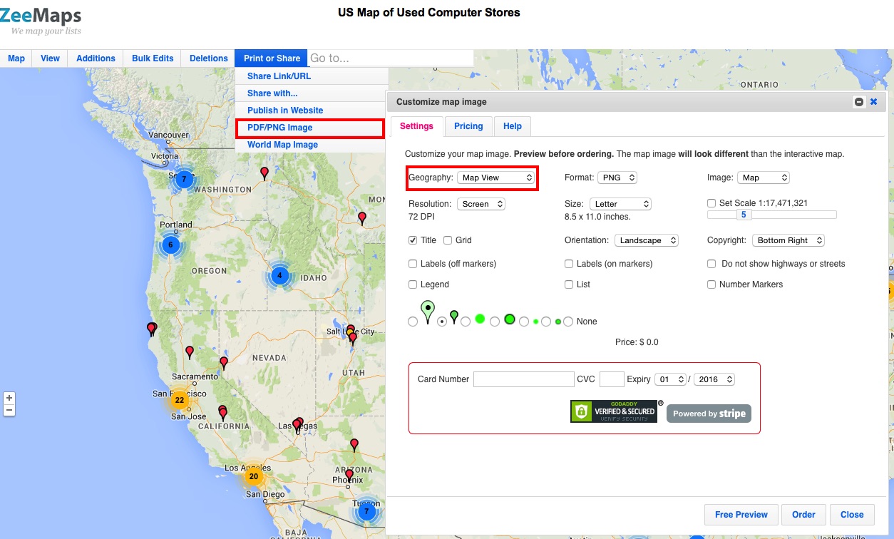
The first option in the customization dialog is for selecting the “Geography” of your image. This allows you to choose from one of the following options:
- Cover Markers – include all the pins or markers that are placed on the map
- Map View – use whatever is visible in the map window currently
- Select Area – select an area of the map using a rectangle
- US Map- make a US Map (possibly with Hawaii, Puerto Rico and Alaska included)
- World Map – map of the world
US Map of Used Computer Stores
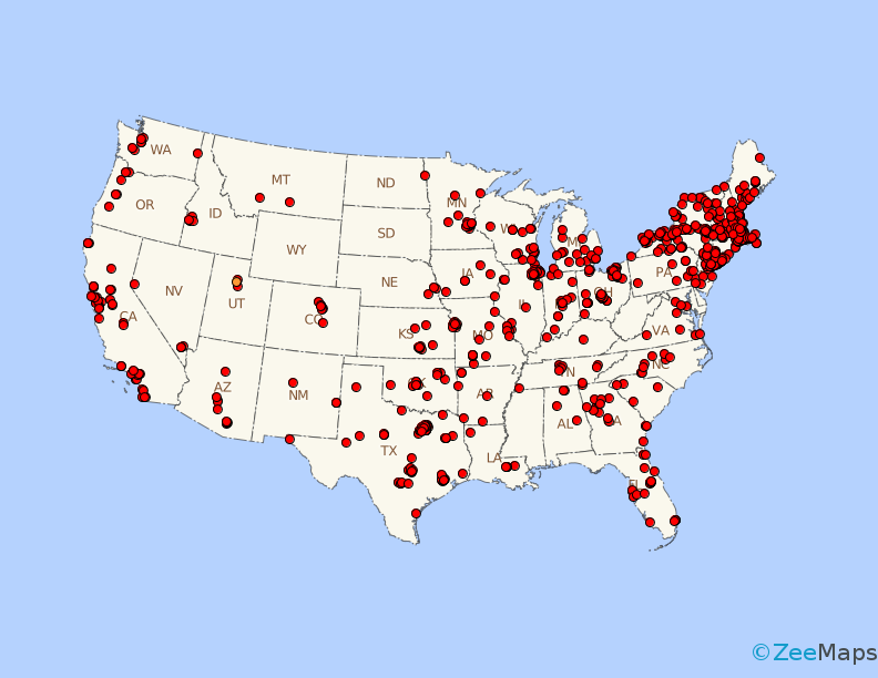
Select the option for “US Map” to get an image of a US Map with all your customizations overlay’d on it. For example, here’s an image generated from our Used Computer Stores map, with Alaska and Hawaii excluded:
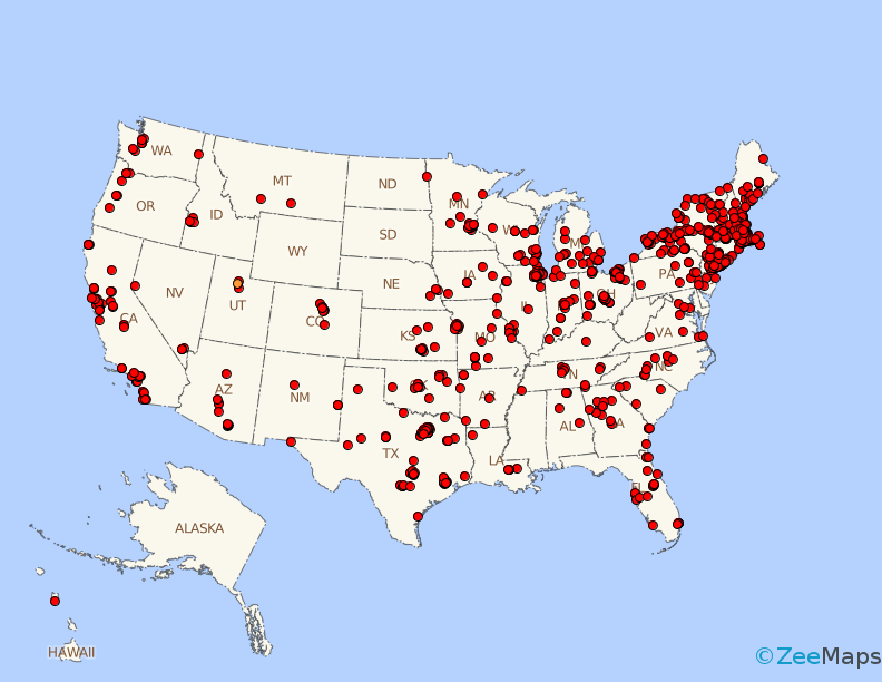
We can also generate a US Map image with Alaska and Hawaii included:
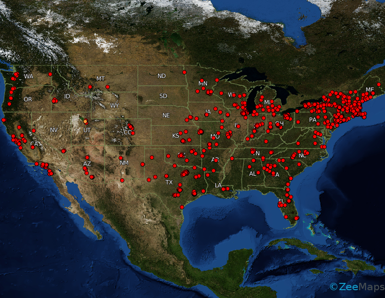
The images are available as a political map with state boundaries, or as a satellite map:
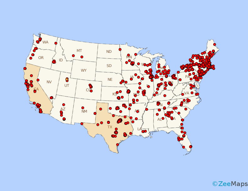
Finally, if you want, you can highlight certain regions on the map, e.g., below we highlight California and Texas:
In this post, we’ve shown a limited set of samples of US Map generated with ZeeMaps. The image customization dialog contains a whole other set of customizations, e.g., selecting the type of markers on the map, the size and resolution of the image, whether you want the markers labeled or not. We invite you to experiment with the myriad of options and contact us in case you need some assistance.
We are Sales جاكارو Games in Saudi Arabia I want to Create my Map in Zeemaps Website, But i can’t please Guide me Properly Thank you.
We have sent you an email message.